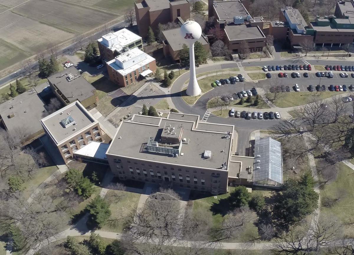
The Remote Sensing and Geospatial Analysis Lab (RSGAL), housed in Green Hall at the center of the photo to the right, features up-to-date hardware and the relevant software for image processing and geospatial analysis, as well as a wide array of ancillary and supporting equipment.
Hardware
Lab hardware includes: Twelve workstation class computers, servers, high-accuracy GNSS equipment, spectroradiometers, a terrestrial laser scanner, and various drones used in research, teaching and outreach.
Software
A suite of applications software provides state-of-the-art capabilities for image processing, mapping, modeling, statistical analysis, and visualization. Access to the following software systems is provided:
- ArcGIS Pro and other ESRI GIS software
- ERDAS Imagine
- GDAL
- IDL / ENVI
- LASTools
- MATLAB
- Quick Terrain Modeler
- PDAL
- Pix4D
- Potree
- R Statistical Software
- RiverTools
- Sensefly eMotion and PostFlight
- Trimble eCognition
- Whitebox
We also use other statistical, geospatial, and software development environments, depending on the needs of projects.
Library Resources
The Natural Resources Library is the primary site for most of the University's collection of books and journals on remote sensing, as well as major GIS journals. The University of Minnesota Library is the 17th largest research library in North America and includes over 5 million print volumes, 48,000 serial subscriptions, and 3 million government documents.
The Borchert Map Library is an excellent resource for finding historical aerial photography and maps. It can be found at https://www.lib.umn.edu/collections/borchert.
