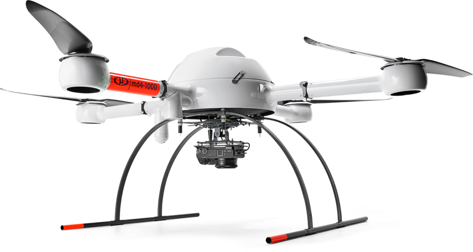
The Uncrewed Aircraft Systems (UAS) Lab is part of the Remote Sensing and Geospatial Analysis Lab (RSGAL) in the Department of Forest Resources. We have been active in UAS research, teaching, and outreach since 2015. Over the years we've flown several hundred UAS missions for a variety of research partners and clients.
Our areas of expertise are:
- Education - University courses such as FNRM 3362/5363 Drones: Data, Applications, and Operations and workshops for stakeholders;
- Research - Natural resource monitoring and quantifying/classifying our changing landscape
- Outreach - You can find us at the State Fair, MN Drone Day, and other events
Specific projects have focused on:
- Mapping & cartography
- Imaging & analysis
- Forest inventory/health
- Wetlands change monitoring
- Habitat assessment
- Wood stockpile management
- Environmental restoration & mitigation
- Rapid response data acquisition
Our staff includes a dedicated UAS Coordinator and multiple FAA Part 107 pilots.
For examples of some of the data we have collected, see the Potree viewers under the Data menu above.
