Students interested in geospatial analysis and remote sensing are encouraged to learn about the Natural Resources Science and Management Graduate Program (NRSM).
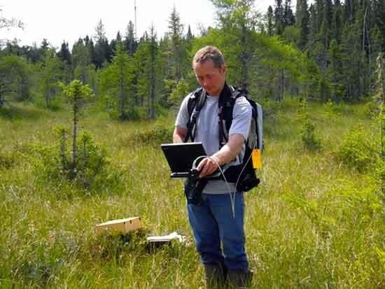
In the Assessment, Monitoring, and Geospatial Analysis track of the NRSM program, graduate students may specialize in topics such as: geographic information systems (GIS); remote sensing; geospatial analysis; survey design (including forest inventory and monitoring), measurement, modeling; and biometrics. Studies typically focus on landscape, region or global levels. A wide array of courses supporting study and research in GIS and remote sensing are available.
We offer prospective students a great deal of flexibility in their program of study, and they may draw on the instructional and research resources at the University to support their individual interests. We recognize each student’s background and career objectives are different and accommodate this in planning individual programs. This approach has helped to ensure the marketability and success of our graduates as they enter their professions.
Graduate assistantships with the research projects may be available. In addition, incoming students may apply for Graduate School Fellowships.
We are active participants in the U-Spatial center/program which provides support for spatial research. Its Imaging core focuses on data and analysis of aerial and satellite imagery of the earth.
Other graduate programs at the University of Minnesota, with students with interest in remote sensing and geospatial analysis and working with RSL faculty, include the Master of Geographic Information Science (MGIS), Land and Atmospheric Science, Water Resources Science, and Ecology and Evolutionary Behavior.