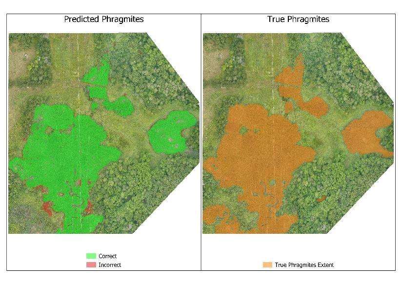
Remote sensing is useful for studying a wide variety of invasive species. In our current work we are using high spatial resolution imagery, lidar, and photogrammetry to map and monitor invasive Phragmites australis, which is a plant species that has impaired wetlands in the Great Lakes region and across the United States. Phragmites australis (Cav.) Trin. Ex Steud (or European common reed, hereafter Phragmites) is thought to have been introduced to the United States through contaminated ballast material in the 18th or 19th century. It is now considered a restricted noxious weed in many states, including Minnesota. Phragmites is a rapid-growing graminoid with the potential to reach 5m in height. It quickly forms dense monotypic stands using aerial seed dispersal and extensive networks of rhizomes. Invasive Phragmites causes negative impacts to wetland habitats including the alteration of hydrology, loss of biodiversity, and changes to nutrient cycling. Phragmites is spreading quickly, and is likely to expand its current range in Minnesota and the Great Lakes Basin.
We hypothesize that the combination of spectral, structural, and textural information from remotely sensed data can be used to map and monitor Phragmites with high accuracy, at high resolution, and over long time periods. This research assesses the suitability of multi-modal, state-of-the-art remote sensing data and methods to detect, map, and monitor changes in Phragmites.
