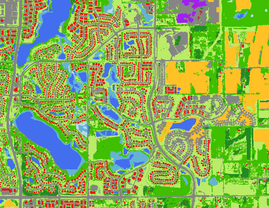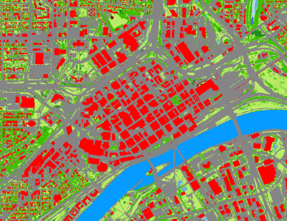
The landscapes and lakes of Minnesota are changing due to urbanization, climate change, and other land use changes. As the composition and intensity of land use changes, there will be impacts, potentially profound, on agricultural cropland, forests, wetlands and lakes, with accompanying changes in productivity, biodiversity, habitat fragmentation, and lake and stream quality. Remote sensing and geospatial analysis tools provide capability needed for mapping, monitoring and analysis of land and lakes and critical inputs to resource management and policy.
Major projects have included statewide land cover and impervious surface classifications for 1990, 2000, and 2014, and several classifications of the seven-county Twin Cities Metropolitan Area from 1986 to 2015. The 2011 TCMA and statewide 2014 classification combined multitemporal Landsat imagery with lidar data and used object-based image analysis for the classification. The 2015 TCMA classifications used similar approach, but with 1m NAIP imagery and the MN statewide lidar data. More work of this kind is ongoing.

